Earlier this month our Council’s Flood Risk Management Committee explored the implications of different flood mapping methodologies on properties in our LGA.
As context, each Council is required by the State to ensure that their flood areas are mapped and properties appropriately tagged as this impacts where residents can safely build as well as what future infrastructure is required to support.
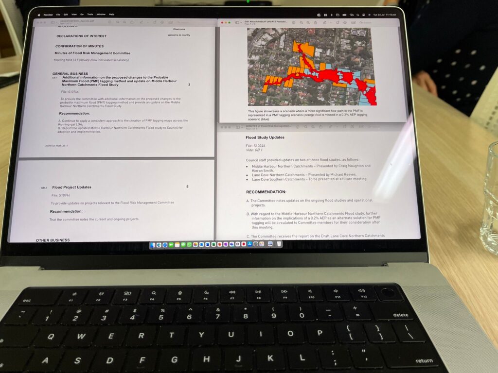
At Ku-ring-gai we’ve broken up the LGA into their respective river / creek catchments and we are systematically going through each one to model and understand which properties are impacted under various flooding scenarios.
We do so based on current available data, which means that the increased rainfall from future climate change and increased velocity of runoff from state housing increases and non-compliant construction are not baked into the modelling. In other words, the modelling may understate actual impacts that are experienced in the coming years.
At the same time, we have residents who will push in the other direction…. They are generally motivated by concerns that addition to a flood map leads to increased insurance premiums.
Council generally explores the impact on each property on a case by case basis, so for example if the flooding is expected to only impact 1 sqm of the corner of a property then we are happy to remove the tag from that property. But if modelling with reasonable assumptions shows that a large portion of the property may be affected (even prior to climate change / increased density scenarios) then we would have to exercise our responsibility by tagging the property.
The current focus is on Middle Harbour North and the next area will be Lane Cove catchment. We will later cover Cowan Creek, Ku-ring-gai Creek, Lovers Jump Creek, and Spring Gully Creek when the funding becomes available.
For more information visit https://www.krg.nsw.gov.au/Environment/Sustainable-living/Prepare-for-extreme-weather/Flooding